Last update
2024
Summary
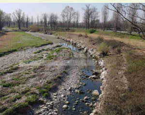
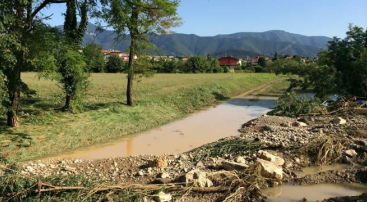
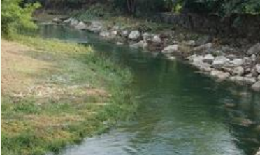
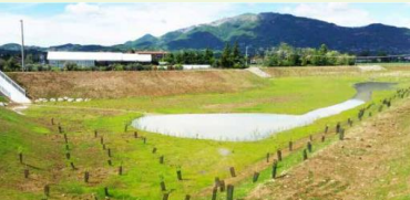
The Cherio River basin is located in the eastern part of Bergamo province, Lombardy region. It extends from the pre-alpine reliefs to the irrigated plain area, down to the confluence of Cherio River into Oglio River. The catchment area is about 153 km2, broken down mainly into forest (42%) and agricultural (39%) land. The territory is vulnerable to overflows and flooding events, which requires constant reclamation activities. Moreover, the increasing water withdrawals from Cherio River for industrial and agricultural purposes compromises the possibility to ensure environmental flows, especially during summer and drought periods. Pollution from nitrogen, phosphorus and wastewaters finally contributes to deteriorate the overall water quality.
OPTAIN seeks the involvement of local actors to identify strategies and solutions for an efficient water management, aimed at ensuring quali-quantitative standards to safeguard natural and aquatic habitats and to support an agricultural system deeply dependent on water resources.
OPTAIN seeks the involvement of local actors to identify strategies and solutions for an efficient water management, aimed at ensuring quali-quantitative standards to safeguard natural and aquatic habitats and to support an agricultural system deeply dependent on water resources.
Latitude
45.74249
Longitude
9.90888
Project
Optain
National Id
IT_05
Photo gallery


Sponge Measure(s) implemented in the case study
Design Authority
| Authority type | Authority name | Role | Comments |
|---|---|---|---|
Site name
Cherio river basin
Light or indepth?
Light
Transboundary
0
Mean annual rainfall
600 - 900 mm
Design land use change
| Land use change type | Comment |
|---|---|
Contractual arrangements
0
Design contractual arrangement
| Arrangement type | Responsibility | Role | Name | Comments |
|---|---|---|---|---|
Financing
| Financing type | Authority name | Share | Comments |
|---|
Financing(old)
| Financing type | Comments | |
|---|---|---|
Financing share(old)
| Financing share type | Share | Comments | |
|---|---|---|---|
Community involvment
No
Design consultation activity
| Activity stage | Key issues | Name | Comments |
|---|---|---|---|
Policy target
| Target purpose |
|---|
|
Pollutants Removal
|
|
Peak-flow reduction
|
|
Erosion Control
|
Policy area
| Policy area type | Policy area focus | Name | Comments |
|---|---|---|---|
Wider plan type
| Wider plan type | Wider plan focus | Name | Comments |
|---|---|---|---|
Requirement directive
| Requirement directive | Specification |
|---|---|
Policy description
There has been an increase in severe droughts and extreme rainfall events, leading to floods in both urban and agricultural areas. The area is also suffering from pollution of both urban and agricultural origin.
The project is being implemented in coordination with the following stakeholders: Regional government, the local reclamation board, and local farmers.
The project is being implemented in coordination with the following stakeholders: Regional government, the local reclamation board, and local farmers.
Part of wider plan
0
Policy pressure
| Pressure directive | Relevant pressure |
|---|---|
Policy impact
| Impact directive | Relevant impact |
|---|---|
Success factor(s)
| Success factor type | Success factor role | Comments |
|---|---|---|
Driver
| Driver type | Driver role | Comments |
|---|---|---|
Financing mechanism
0
The in-depth description of the case study
Monitoring maintenance
Monitoring impacts effects
0